
Paros
Paros is one of the central Cyclades, 196 square kilometres between Naxos and Antiparos, built around the large bay of Parikia and the fishing harbour of Naoussa. Famous since antiquity for its translucent white marble from Marathi quarries — the marble used for the Venus de Milo and Napoleon’s tomb — it has rolling hills, vineyards and long sandy beaches on all sides, with the high mountain of Profitis Ilias in the centre.
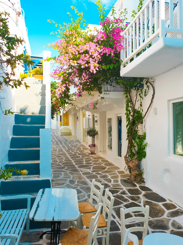
Today it is one of the most popular Cycladic islands, with Parikia’s Panagia Ekatontapiliani, one of Greece’s oldest Byzantine churches, and Naoussa’s Venetian kastro and nightlife. Beaches like Kolymbithres with granite sculptures, Santa Maria, Golden Beach for windsurfing, and Faragas mix with inland villages like Lefkes and Prodromos, giving it both a cosmopolitan and traditional feel.
The car-free olive island in the Pagasetic Gulf
Paleo Trikeri, also called Old Trikeri or Trikeri Island, Greek Παλαιό Τρίκερι, is a small island in the Pagasetic Gulf off the end of the Pelion peninsula in Thessaly, north of the tip of Pelion. It is part of the municipal unit of Trikeri within South Pelion. The island has an area of about 4.5 square kilometres or 1.7 square miles, with highest point 109 metres, latitude 39.1599N longitude 23.0789E, also known as Cicynethus in antiquity.
In the 2001 census it was reported to have 87 people but year-round population has been estimated at 15, and the village itself is no more than 40 houses, a few streets, a couple of tavernas and limited rentals. There are no cars or roads — only means of transport are donkeys and footpaths criss-crossed through 75,000 olive trees, citrus trees, juniper, oleander and wild flowers. The monastery of Panagia Evangelistria in the centre was built in the 19th century. The island was believed inhabited since Stone Age, then inhabitants fled to mainland to avoid pirates founding New Trikeri. From 1946 and from 1947 during Greek Civil War it was used as a concentration camp for female left-wing political prisoners, with 4,700 held in September 1949.
This is for you if you want a hidden paradise unspoiled by modern life, where you swim from small beaches, taste fresh fish with tsipouro and stay at the monastery. It is not for cars, roads or large tourism.
How to get there & around
You must leave your car at Alogoporos beach near Trikeri village on the mainland, the nearest point, as Paleo Trikeri is a car-free island and sanctuary. A small taxi-boat or shuttle boat connects Alogoporos with Paleo Trikeri island in only 10 minutes. From Volos you follow the coastal route along Pelion to Trikeri village. Access is exclusively via water taxi from Alogoporos or by docking private boat at the port of Agios Ioannis. There are no roads on the island — you walk on tracks between olive groves and beaches, or use donkeys.
Sources
- https://en.wikipedia.org/wiki/Paleo_Trikeri | small island Pagasitic Gulf off end Pelion peninsula Thessaly part municipal unit Trikeri within municipality South Pelion 2001 census 87 year-round estimated 15 area about 4.5 km2 no cars
- https://www.youtube.com/watch?v=Nk-7W0i7sM8 | Paleo Trikeri small car-free island about 4.5 km2 75000 olive trees citrus trees located Gulf of Volos Thessaly tiny island Trikeri Pagasitic Gulf off end Pelion lesser-known idylls
- https://www.savills.com/property-detail/gbcrscrs150067 | hidden paradise unspoiled no vehicles only means transport donkeys Visitors leave cars at Alogoporos nearest point mainland travel across by taxi-boat journey 10 minutes lovely small village few streets 40 houses limited rentals couple taverns
- https://en.wikivoyage.org/wiki/Paleo_Trikeri | taxi boat connects Alogoporos beach near Trikeri with Palaio Trikeri no cars roads monastery Panagia Evangelistria center built 19th century beaches suitable swimming taverna port Agios Ioannis
- https://en.wikipedia.org/wiki/Trikeri | From 1947 island Trikeri used as concentration camp female left-wing political prisoners Greek Civil War September 1949 political activists other camps sent Trikeri increasing number 4700
- https://mapcarta.com/W1014109566 | Also known Cicynethus Nisida Palaio Trikeri Latitude 39.1599 39 9 36 north Longitude 23.0789 23 4 44 east
Back to all Greek islands
The Greek Island Directory is a project of passion where a love of Crete, Data Integrity and Directories converge to create something truly special for users: Learn More.
Last Updated on August 30, 2026 by admin